STOP EXOTIC PESTS
When a yard tree dies do you cut it up for firewood? The pest that killed the tree can live in the wood for years, and can harm the trees at your favorite campground?
Read More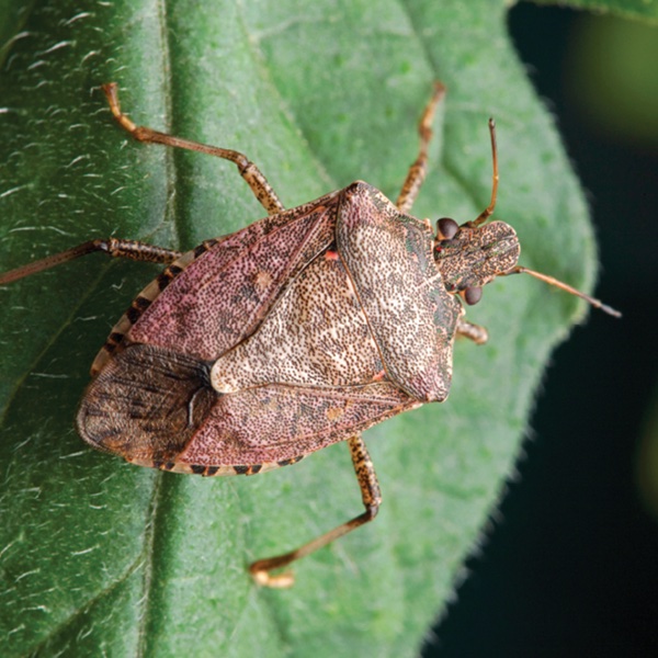
SUCCESS STORY
The Asian Longhorned Beetle poses a threat to northeast forests and maple syrup production. Infestations in several states are under eradication by APHIS.
Learn More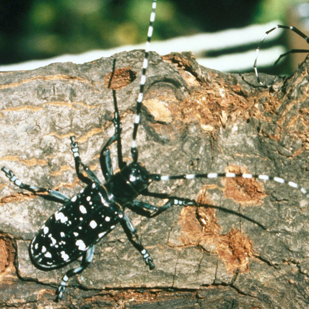
PEST WATCH
Pest Tracker curates many details on invasive insects and diseases. Maps, news articles, videos, and related websites are all available.
See The Pest List
CAPS SURVEY
The Cooperative Agricultural Pest Survey (CAPS) pest detection program supports the USDA as it works to safeguard U.S. agricultural and environmental resources.
Visit Site